Railways are critical transportation infrastructures, enabling people and goods to move over land. Monitoring the condition of railway assets is crucial for ensuring safety and reliability. In recent years, Laser Scanning Technologies have emerged as powerful tools for railway infrastructure monitoring.
LiDAR is a laser-based surveying method that allows the rapid collection of highly detailed 3D data. By mounting LiDAR sensors on mobile platforms, entire railway corridors can be efficiently mapped to create comprehensive digital models. The high precision capability of LiDAR makes it uniquely suited for monitoring delicate infrastructure components and detecting subtle changes over time. This blog post overviews how LiDAR scanning transforms railway infrastructure monitoring. We will discuss critical railway assets that can be monitored, such as tracks, overhead power lines, tunnels, clearance gauges, and signaling equipment. Modern mobile LiDAR mapping systems featuring integrated cameras, positioning sensors, and data processing workflows will also be covered.
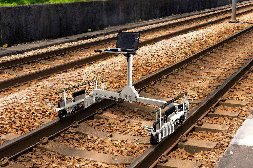
Get continuous, automated wheel condition data with our “in-track wheel measuring system“.
A core focus is using LiDAR data analytics for automated feature extraction and condition assessment. Advanced data processing algorithms can now rapidly classify point clouds to identify tracks, detect wear, map cables, model structures, check clearances, and pinpoint other defects. The ability to continually compare high-resolution scans captured over months or years enables precise monitoring of infrastructure changes and predictive maintenance.
The growing adoption of LiDAR for railway asset management signals a new era of efficient, digitalized monitoring practices. Rail companies and government agencies are already realizing benefits such as enhanced safety, cost savings, informed decision-making, and network resilience. This blog provides timely insight into these technologies poised to transform railway infrastructure maintenance.
What are Laser Scanning Technologies?

Laser scanners have become a vital technology for comprehensively surveying transportation infrastructure. They emit laser beams and detect their reflection to measure distances to surrounding objects. This generates dense 3D point clouds mapping the environment. Laser scanners integrate with positioning sensors like GPS and inertial measurement units to geo-locate the data accurately. These components enable versatile mapping from static terrestrial setups, vehicles, boats, backpacks, or aerial platforms.
As laser scanner hardware has advanced, higher precision and faster data acquisition is possible. However, fully leveraging these rich datasets requires intelligent processing techniques. Algorithms for segmentation, object recognition, and change analysis unlock asset monitoring applications across roads, rail, and other networks. Laser scanner systems will continue enhancing infrastructure planning, maintenance, and resilience with their evolving performance and analytical capabilities.
See also: “Railway Inspection and measurement systems“
Laser Scanner System Components
Laser scanners collect dense geometric measurements, but additional technologies are critical for producing usable 3D maps. Accurately geo-referencing point clouds requires integrating the laser scanner hardware with positioning instruments. Global Navigation Satellite Systems (GNSS) provide geographic coordinates by triangulating signals from orbiting satellite constellations. Inertial Measurement Units (IMUs) measure angular velocity and acceleration via onboard gyroscopes and accelerometers for calculating displacement and orientation. Distance Measurement Indicators (DMIs) also supply linear travel data.
Together, these systems determine the laser scanner’s precise pose within a global frame of reference as it moves. However, minor errors can accumulate. Kalman filtering optimally fuses the measurements to exploit each instrument’s strengths – the long-term accuracy of GNSS and the short-term precision of IMUs. In addition, the spatial offsets between the laser scanner, GNSS antenna, and IMU center must be measured. This “lever arm” offset allows for the synchronization of data streams into one unified point cloud. Fusing LiDAR, GNSS, IMUs, and other sensors enables accurate and efficient 3D mapping critical for infrastructure monitoring.
Performance of Laser Scanning Systems
Many characteristics determine the quality of point clouds captured by laser scanners. Accuracy indicates the closeness of measurements to valid values, impacted by factors like GNSS precision, improper calibration, and reflective surfaces, causing errors. Completeness evaluates whether all necessary data is acquired, which can be limited by occlusion. Resolution describes the detail level based on the spacing between points. Density, scan geometry, and sensor specifications also affect performance.
Key factors in ensuring the effectiveness of this technology include addressing processing artifacts and achieving accurate geo-referencing. This accuracy depends on precise navigation, exact measurements of the lever arm, and synchronized data. The evaluation of laser scanner quality commonly focuses on parameters such as accuracy and completeness. We can now capture higher point densities across larger areas, improving accuracy thanks to ongoing advancements in laser scanner hardware and positioning components. Additionally, sophisticated processing techniques are unlocking even greater value from the data. These combined improvements significantly enhance our ability to monitor and understand the delicate details of infrastructure conditions, paving the way for more effective maintenance and management.
Types of Laser Scanner Systems
Laser scanners come in various forms to meet diverse infrastructure mapping challenges. Stationary terrestrial laser scanners (TLS) feature the LiDAR unit mounted on a base, delivering ultra-detailed scans at lower speeds. Vehicle-integrated mobile laser scanners (MLS) efficiently survey transportation networks by collecting data while driving at average traffic speeds. Airborne laser scanners (ALS) on planes exploit aircraft dynamics to cover vast terrain rapidly.
See also: “Train Wheel Inspection“
Each arrangement exhibits specific strengths and tradeoffs in motion, coverage, resolution, and costs. Ongoing improvements in laser scanner equipment boost precision for discerning small infrastructure components, while faster rates allow assessing expansive linear assets like railways or roads in one pass. Meanwhile, sophisticated algorithms enhance information extraction from richer data. Fusing LiDAR, imagery, GPS, and inertial sensors also empowers reconstruction of highly accurate and contextual 3D infrastructure models to inform better decisions.
Application of Laser Scanner Technology in the railway

Mobile Laser Scanning (MLS) systems are transforming how we monitor railway infrastructure, including rails, power lines, signals, and ballast. MLS outperforms traditional static terrestrial laser scanning in surveying these critical assets by offering a faster, safer, and more detailed approach. This technology employs various methods to process MLS-generated point clouds for inventory management and inspection tasks.
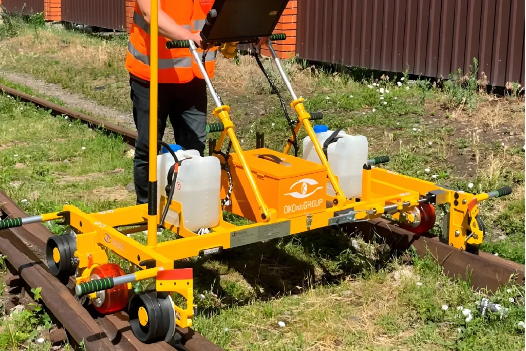
Monitor railhead wear and profile deformation precisely using our “rail profile measuring device“.
Regarding inventory, heuristic model-driven techniques extract geometric features, such as curvature, to identify rails. These are then verified using machine learning classifiers. For power line monitoring, classifiers like Support Vector Machines (SVM) are crucial in differentiating between wires, poles, and other components based on their spatial arrangements. In the case of recognizing signage, the fusion of MLS data with imagery provides more accurate results.
On inspection, MLS data is compared against CAD models (Computer Aided Design models) to measure rail wear. The ballast condition is evaluated using a geometry index derived from specific measurements. Any encroachment on the required clearance is detected by aligning standard rail head shapes with the collected data to pinpoint exact locations. Furthermore, analysis of intensity and infrared data helps in identifying damage.
The current trends in this field are leaning towards automation in inventory processes, integrating MLS data with other sensor inputs for enhanced recognition accuracy, and adopting machine and deep learning techniques for classification and modeling. However, challenges in standardizing data processing remain. The potential lies in combining MLS with Building Information Modeling (BIM) and Asset Information Modeling (AIM) for comprehensive as-built modeling and geotechnical asset monitoring. Overall, MLS-based approaches are paving the way for more efficient, reliable, and safer assessments of linear railway assets.
See also: “Laser-Based Railway Track Inspection“
Railway Network Monitoring

Railway networks are critical infrastructure assets that need frequent monitoring and inspection. Traditionally, these activities involved manual visits by personnel along the tracks and were costly, inefficient, and unsafe. Advancements in laser scanner technologies are revolutionizing this process through automation and remote sensing.
Mobile laser scanning (MLS) systems allow 3D mapping of rail assets while mounted on trains or inspection vehicles. Using LiDAR sensors and imagery, dense point clouds and geo-located images of the rail corridors can be captured at highway speeds. This enables faster, more frequent, and safer monitoring than static laser scans.
Using machine learning algorithms, powerful software analyzes the MLS data to automatically extract key railway components like tracks, overhead power lines, signals, and marker posts. Tiny defects undetectable by the human eye can be identified for preventive maintenance. Clearance infringements from vegetation overgrowth are monitored digitally through virtual rail head fitting. Integration with onboard sensors, like ultrasonic testing, enables to capture of subsurface flaws in real-time during the inspection runs.
Soon, digitally scanned ‘digital twin’ models of entire rail networks will empower managers with intelligent analytics dashboards for all maintenance activities, powered by IoT sensors. MLS is a game-changing technology that cuts costs and prevents accidents through continuous remote monitoring of railway health.
LiDAR Mapping Systems for Railways
Safe and efficient railway operations require frequent monitoring of rail assets across vast stretches of tracks. Traditional foot patrols and manual inspections are time-consuming and costly and pose safety hazards to personnel. LiDAR (Light Detection and Ranging) mapping is set to revolutionize this process through remote sensing.
LiDAR sensors can be mounted on trains or hi-rail inspection vehicles that traverse the rail networks at speeds upwards of 125 mph. By combining laser scanning and imaging technologies, highly detailed 3D point clouds and geo-located images of the entire rail corridor can be captured without any track intrusion.
Powerful software analyzes this rich data to create digital twin models of the rail network with all assets mapped – tracks, overhead power lines, signals, marker posts, and more. Tiny flaws invisible to the naked eye are automatically flagged using AI-based algorithms. Vegetation encroachment, surface defects, component faults, and subsidence are monitored remotely.
As LiDAR sensors get cheaper, lighter, and more powerful, train-mounted systems can provide live status updates to the control room to make immediate maintenance decisions. LiDAR scanning solutions make continuous remote monitoring of rail health a practical reality, leading to enhanced safety, efficiency, and service levels.
Conclusions
Mobile Laser Scanning (MLS) is revolutionizing how we monitor railway infrastructure. This cutting-edge remote sensing technology outshines traditional static terrestrial laser scanning by offering a faster, safer, and more comprehensive method to capture detailed 3D images and maps of railway corridors.
Researchers are excited about the myriad ways MLS can be utilized. It is not just about capturing images but about extracting vital information. From the rails themselves to overhead power lines, signals, marker posts, and even the ballast, MLS assists in creating an accurate digital inventory of these critical components. The technology is sophisticated enough to detect tiny defects and anomalies automatically through geometry, light intensity, and infrared analysis.
One of the most impressive aspects of MLS is its ability to measure rail wear, spot potential hazards from trackside vegetation, assess the condition of the ballast, and identify surface cracks or faults. Combining MLS data with onboard ultrasonic testing makes it possible to spot subsurface flaws in real-time – a huge leap forward in ensuring rail safety.
Looking ahead, the future of MLS is bright. We’re moving towards standardized algorithms and the creation of digital twin models that integrate Building Information Modeling (BIM) and Asset Information Modeling (AIM) for entire rail networks. This integration, especially with Internet of Things (IoT) sensor data, paves the way for continuous, remote monitoring of railway health. Imagine having intelligent dashboards that provide real-time insights, enabling proactive maintenance, boosting safety, and enhancing the resilience of our rail networks. MLS isn’t just a tool for today; it’s a cornerstone for the future of railway infrastructure maintenance